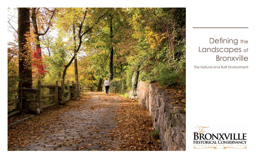
The Conservancy has expanded its vision to include “whole place preservation” as a part of safeguarding our village history and preserving the treasures the community values so greatly. We wanted to learn how to protect the best of Bronxville by understanding how the natural features influenced the shaping of the man-made landscape. We also hoped to determine what stewardship is required to conserve the best features of the village.
To meet those objectives, the Conservancy funded a project in conjunction with Peter Gisolfi Associates to investigate the natural features that have determined the character of the landscape in the village in order to know how the cultural features were overlaid on the natural setting. By mapping the physical geography of the village, we have been able to produce an analysis of Bronxville’s natural landscape which includes such things as its geology, topography, vegetation, hydrology, slopes and soils. A second series of maps provides an analysis of the cultural landscape of the village, including patterns of development, neighborhood and construction chronology, land use and zoning. The book also contains a listing of the trees, shrubs and plants that are native to the village as well as a list of the plants that are considered invasive, many of which are banned in New York State.
The result is an informative and visually impressive document which identifies the four landscape types in the village and the differences between them. Strategies based on this knowledge can now be developed to conserve and enhance the surrounding environment.